10 scanners handed over in Madagascar
At the beginning of August we handed over 10 mobile laser scanners, each costing under €2,000, to local teams in Madagascar, and trained them to capture trees and forests and process the data themselves.
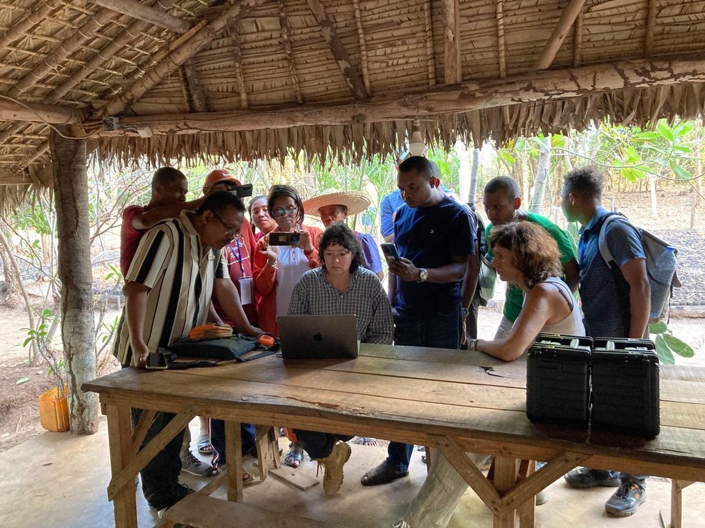
A couple of years ago this would not have been possible. There were three barriers: scanners costing tens of thousands, point-cloud processing that needed a specialist, and no guidelines written for non-experts. We went after all three at once.
Two trainings, 15+ participants. The first was organised by Maria J. Santos (University of Zurich), the second by Kew Madagascar. Both were led by Cecilia Chavana-Bryant (UCL Geography). None of it would have been possible without our local partners: Université de Mahajanga, University of SAVA, Duke Lemur Center and Tropical Biodiversity & Social Enterprise (TBSE).
The scanners and their HDMapping pre-processing software were developed by Janusz Będkowski at IPPT PAN (Polish Academy of Sciences).
What’s next. Over the coming months we’ll support the teams’ own ideas, help them process the data they’ve collected, and show how it can feed into decisions on the ground. The same plan then goes to four more African countries, starting with Tanzania, 8–20 November 2026.
Three projects make this work possible:
- Scanning Together, funded by the National Centre for Earth Observation (PI: Martin Mokroš, UCL Geography)
- Scanning4Africa, funded by the University of Zurich (PI: Maria J. Santos)
- 3DTreePrint, focused on UK forests, funded by ARIA (PI: Martin Mokroš)
If you manage forests and have looked at laser scanning and decided it wasn’t for you, I’d like to know what stopped you. If you’d like to try it, get in touch.
More photos are in the gallery.